BUCKLAND DOWN: A TEST
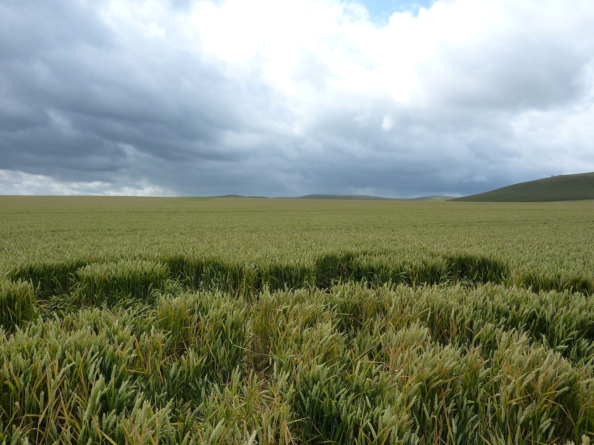
The second crop formation of 2018 appeared on May 26th at Buckland Down.
I was immediately curious to find out if it would have a same kind of special relationship to Sun and Moon as the first crop formation at Willoughby Hedge (see this link and especially this one)
I applied my 'normal procedure' of copy-and-paste in Google Earth, started measuring and this is what I found earlier.
Legenda:
Red lines: North, East, South and West.
The black line: the axis of the formation. Measuring reveales that it is -8.56˚ off North.
The yellow lines point at the Sunrise and Sunset on May 26th(the day reported by the Crop Circle Connector).
The blue lines point at the moonrise and moonset on that same day.
Sunrise was at 54˚at 05.07 AM, Sunset was at 306˚ at 09.07 PM.
Moonrise was at 102˚ at 05.34 PM, Moonset at 262˚ at 04.08 AM.
As you can see the Sunrise and Moonrise are not quite in line with the design of the formation. The Sunset and Moonset however are in line: the line pointing at the sunset follows the edge of the left upper 'avenue' and you could say that it follows this edge precisely.
The line pointing at the Moonset runs straight through the center of the left lower circle.
I wondered what could have been the reason of the crop circle makers to do it this way.
Did they have a plan to align the formation with the Sunrises/sets and Moonrises/sets? A plan which only succeeded partially because of lack of experience, or good (electronic) measuring equipment?
Was it the purpose of the makers to align this formation on a North-South axis and did they just not succeed so that it is -8.56˚off North?
The main question is: was there a plan at all?
Answer: of course, otherwise the crop circle would not have been There!
Pondering these questions I decided to do a test and create my own 'virtual' crop formation based on the one at Buckland Down.
This will be my first 'reverse engineering project' :)).
The PLAN
Question: What do I want?
Answer: Create a crop formation in such a way that the main elements of the formation align with the Sunrise, Sunset, Moonrise and Moonset on ONE specific day.
Question: Why do you want to do this?
Answer: To show that it is possible for humans to create a crop circle with special characteristics which appeal to people who believe that all crop circles are non-human creations.
This crop formation will evoke discussions in the world of croppies and will enlarge the division between the different 'schools' of researchers in such a way that nobody knows anymore what to think or believe.
Question: What will you create?
Answer: A crop formation with a North-South axis, made in such a way that four alignments will exist.
Two with the Sunrise/set on a specific date and two with the Moonrise/set on that same date.
Question: What will be the day that the alignments will point at?
Answer: Mmmm, that is a very good question. It must be a day with a lot of meaning for a lot of people and one on which these four alignments on the same day are indeed possible.
Question: Such a day could for instance be Christmas: the celebration of the birth of a man with a lot of meaning for a lot of people or Easter, the Resurrection of the same man?
Answer: Mmmmm......
Question: Maybe New Year?
Answer: Which New Year do you mean? the Western New Year? the Chinese? The Islamic?
Question: It is impossible to find a good date.
Answer: I have an idea though....it must be the longest day of the year and the beginning of Summer on the Northern Hemisphere.
Question: June 21th!!??
And so it happened.....
This is the result....
P
Question: But, sorry to say.....it doesn't fit.
It is still 8.56˚off North and only the Sunset aligns perfect. Sunrise, Moonrise and Moonset are way off line.
Answer: Oops, slight mistake.....our gps equipment and laser measurement tools didn't work properly. I am afraid we have to make a new one.
Lets turn the crop formation 8.56˚ clockwise while keeping the dimensions of the formation exactly the same.
(To be clear: I used the original picture and turned it 8.56˚clockwise which naturally means that the crop formation doesn't align anymore with the tramlines)
The second try....
I think this is 'rather Bingo'!
Position: due North, perfect alignment of Sunrise and Sunset on June 21th.
Moonrise and Moonset are slightly off (2˚....this could have been done better).
Question: To what is the green line pointing?
Answer: You will never guess.......
Question: Tell me please!
Answer: Okay, the green line runs to ..........Stonehenge and it's Heelstone!
At summer solstice an observer standing within the stone circle, looking northeast through the entrance, would see the Sun rise in the approximate direction of the Heel stone.
Question: More questions?
Answer: Silence...........and more silence
Thanks for reading and Stay Tuned........


Question: So actually the 'real' crop formation is not well made? The makers tried to align it with Sunrise and Sunset and Moonrise and Moonset but they succeeded only partially?
Answer: I don't know and we will never know. I think my 'virtual version' is better in that it has some amazing characteristics. The extra special thing is that it lines up with Stonehenge and its Heelstone which doesn't
happen in the real formation. The only thing the makers needed to do is turning the design 8.56˚ clockwise to get the same result as I did. We must ask the makers what was their plan..........